Jordan Foster · 19 September 2026
Augmented Reality Overlays Bring Real-Time Development Visuals to Public Consultations
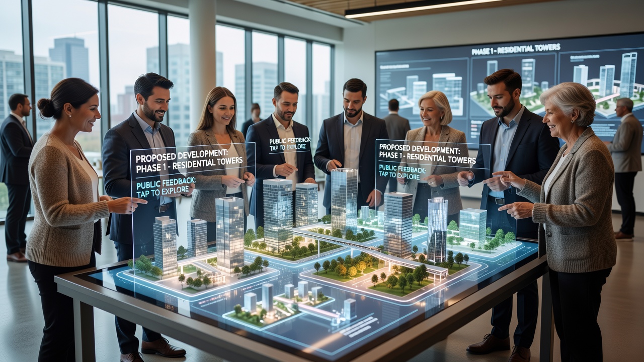
Augmented reality overlays now allow residents to see proposed buildings, parks, and infrastructure appear in their actual surroundings through tablets, phones, or headsets during public consultation sessions, and cities have begun rolling out these tools to make feedback more precise. The technology layers digital models onto live camera feeds so participants can walk around a site and observe height, scale, and materials from multiple angles without relying on static drawings or scale models.
Core Technology Behind the Overlays
Systems combine geographic information system data with building information modeling files that planners load into AR platforms, after which the software registers the models to physical coordinates using GPS, visual markers, and inertial sensors. Once aligned, the overlays update in real time as users move, which means shadows shift with the sun angle and sightlines adjust when someone steps behind a proposed structure. Data from multiple sessions shows registration accuracy typically stays within 10 centimeters when calibrated properly, according to testing conducted by municipal technology teams in North America and Europe.
Implementation Examples Across Regions
One Canadian city integrated AR stations at consultation events for a waterfront redevelopment, enabling participants to toggle between different design options while standing on the actual promenade. In Australia, planners used similar setups during reviews of a new transit corridor so residents could assess how elevated rail sections would affect views from nearby homes. European municipalities have tested mobile AR apps that residents download before attending meetings, and the apps display the same models viewed on larger shared screens inside the venue.
What's interesting is how these tools change the questions people ask. Observers note that participants shift from general concerns about density to specific comments on window placements, tree heights, and pedestrian flow once they can see the proposals at full scale. Research indicates this shift occurs because spatial understanding improves when models respond to actual movement rather than remaining fixed on paper or screens.
Integration With Existing Planning Workflows
Planning departments connect AR platforms to their existing review databases so any approved changes to massing or materials appear immediately in the next session. Staff update the central model, and the overlays refresh across all devices without requiring new hardware calibration. This linkage reduces the lag between design revisions and public viewing that previously stretched across weeks.
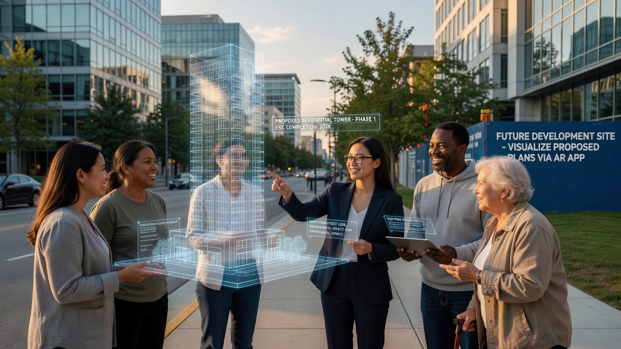
Hardware choices vary by setting. Indoor venues often deploy large shared screens mounted on movable stands, while outdoor sites rely on rugged tablets or lightweight headsets that handle bright sunlight. Battery life and connectivity remain practical constraints, yet recent firmware updates have extended continuous use to four hours on a single charge in field tests run by Singapore's urban redevelopment authority.
Data Collection and Feedback Recording
Systems log where users pause, which viewpoints they revisit, and which design variants they select most often, generating heat maps that planners review after each event. These spatial analytics supplement written comments and spoken testimony, giving quantitative weight to preferences that emerge only when people experience the proposals in place. Figures from pilot programs reveal that AR-assisted sessions produce 30 percent more location-specific comments than traditional formats using the same project materials.
September 2026 marks the scheduled expansion of a multi-city trial that began in 2024, with additional North American and Asian municipalities scheduled to adopt the same AR framework for major rezoning consultations. The expansion follows standardized data protocols developed jointly by participating agencies to ensure models remain compatible across different software environments.
Training and Accessibility Considerations
Consultation organizers provide short orientation sessions so attendees learn basic gestures for rotating models or switching layers. Accessibility features include audio descriptions for visually impaired participants and simplified interfaces for those less familiar with touch controls. Researchers have documented that most first-time users reach basic proficiency within five minutes when guided by staff on site.
Conclusion
Augmented reality overlays now supply residents with immediate, location-specific views of proposed developments during consultation sessions, and the approach continues to integrate with established planning databases and feedback systems. Cities track usage metrics and spatial preferences while expanding hardware options to suit both indoor and outdoor settings. As more municipalities adopt the tools ahead of the September 2026 rollout phase, the method offers a consistent way to connect digital models with physical sites for clearer public input.